Route Map & Live Location

Toggle map layers, inspect downhill segments, and click any marker to jump to trail details.

Climb Downhill Segment High Peak (>1700m)

Interactive Elevation Profile

Hover over the profile chart to sync your cursor live with the map position.

0.0 km 583 m 0%
Singletrack Enduro Downhills

8 Epic Downhill Trails Breakdown (Trailforks & Komoot Verified)

Detailed technical analysis, photos, Trailforks references, and video action of the descent segments on this route.

DH 1

Arlecchino Trail

Feistritzer Alm / Sella Bartolo ➔ Val Bartolo & Camporosso
S2 Red
-897 m Drop
9.8 km Length
1,717 m Peak
AT ➔ IT Border

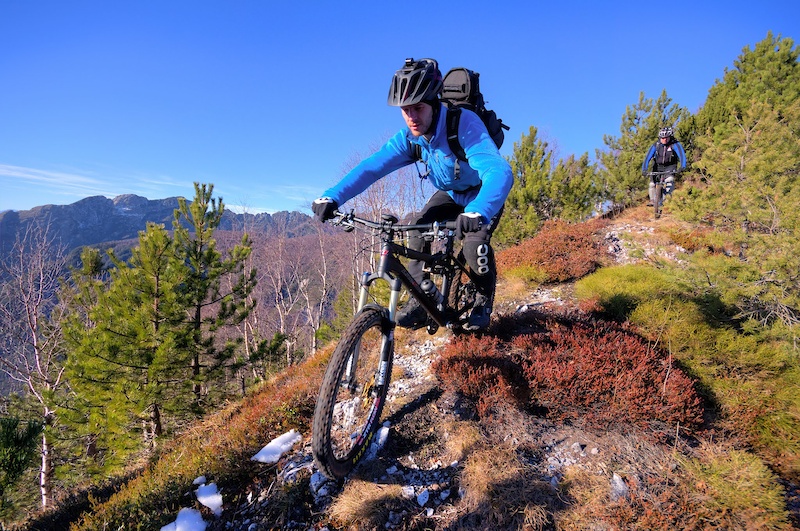
Starting from Achomitzer Alm and Sella Bartolo (1,717m), the Arlecchino Trail plunges down through rich forest loam, rooty turns, and steep rocky chutes into Val Bartolo and Camporosso.
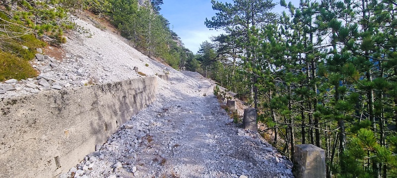
Arlecchino Trail MTB singletrack photo
DH 2

Ugovizza Malga Priu T2

Malga Priù Alpine Pasture ➔ Ugovizza
S1 Flow / S2
-437 m Drop
1.8 km Length
1,194 m Peak
Malga Priù

Flowy, steep alpine singletrack starting near Malga Priù (1,194m) in the Ugovizza valley. Sweeps through pine forests with natural root steps and fast loam berms.

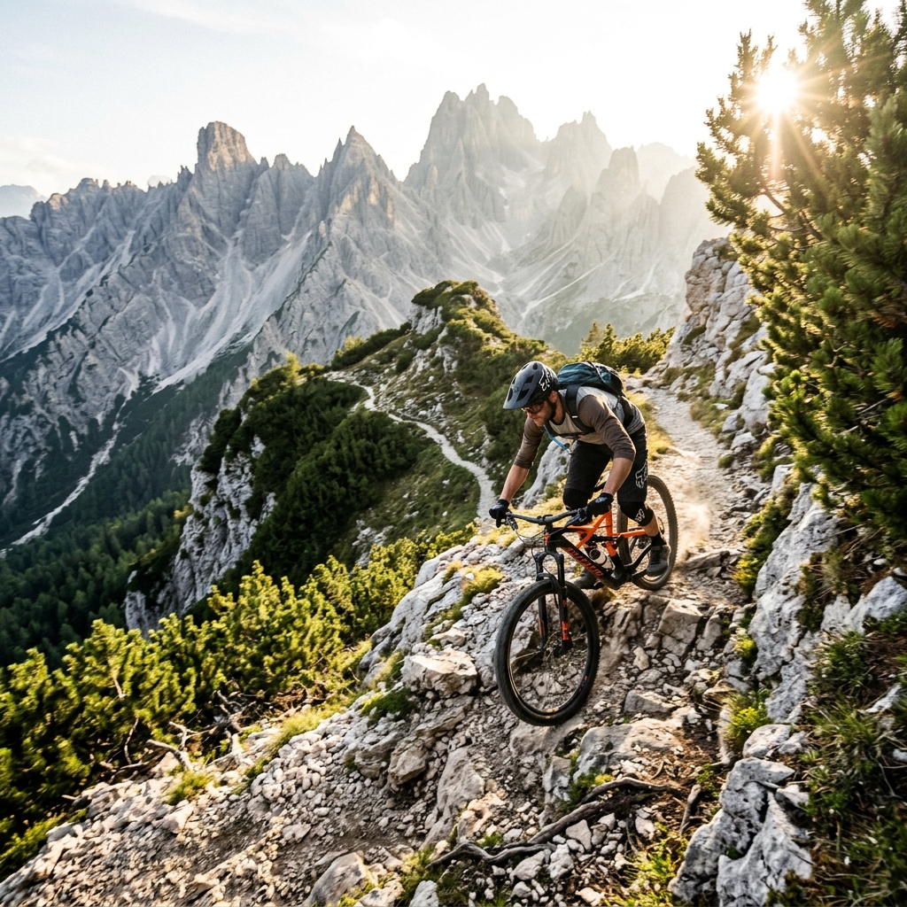
Ugovizza Malga Priu T2 trail photo
DH 3

Monte Nebria DH2

Monte Nebria Ridge ➔ Valbruna & Malborghetto
S2 Red
-494 m Drop
3.2 km Length
1,253 m Peak
Valbruna Gorge

Short, punchy downhill singletrack plunging off the crest of Monte Nebria (1,253m). Features fast tech lines over limestone slabs and tight switchbacks terminating near Malborghetto.

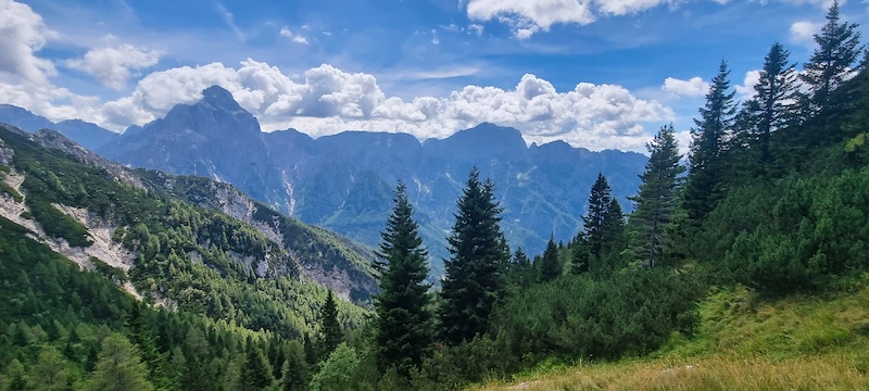
Monte Nebria DH2 trail photo
DH 4

Testa di Malborghetto Downhill-Trail

Testa di Malborghetto Ridge ➔ Upper Val Gortani
S2 Red
-450 m Drop
3.0 km Length
1,480 m Peak
Komoot Downhill

Scenic high-elevation downhill trail descending off the Testa di Malborghetto ridge (1,480m), linking rocky limestone drop-offs with fast forest singletrail sections into upper Val Gortani.

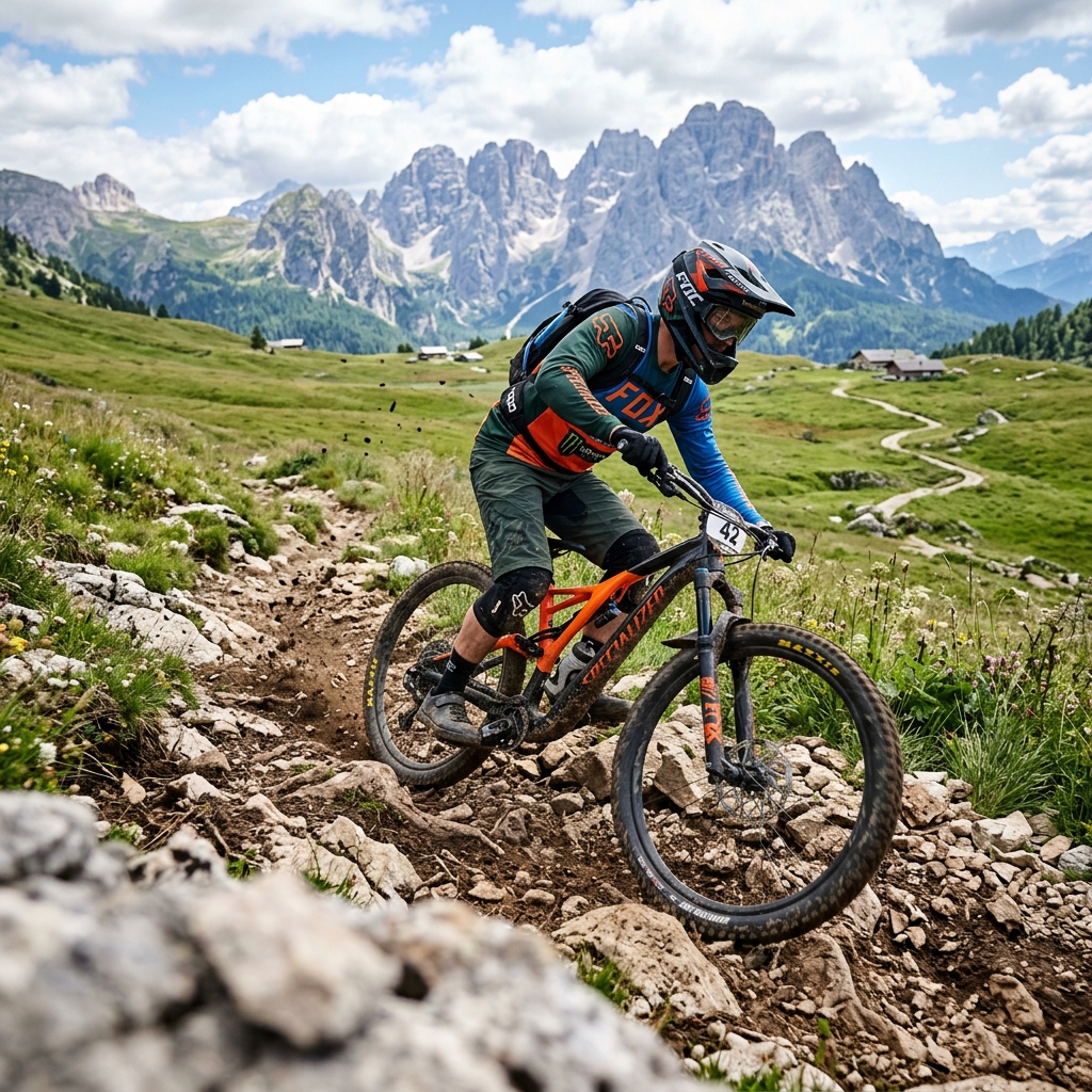
Testa di Malborghetto trail photo
DH 5

Sella Tarondo ➔ Pietratagliata

Sella Tarondo & Sella Bieliga Ridge ➔ Pietratagliata Village
S2 Red
-959 m Drop
14.1 km Length
1,474 m Peak
Pietratagliata Village

A long, demanding alpine trail dropping from Sella Tarondo (1,474m) across the Sella Bieliga military ridge with a climbing section in the middle, terminating down at the mountain village of Pietratagliata.

Sella Tarondo Pietratagliata trail photo
DH 6

Slenza DH

Casera Slenza Alta ➔ Dogna Valley
S2 Red
-694 m Drop
4.0 km Length
1,479 m Peak
Casera Slenza Alta

High alpine singletrail starting right at Casera Slenza Alta (1,479m). Plunges down technical limestone rock gardens, steep forest switchbacks, and natural water drainages.

Slenza DH Casera Slenza Alta trail photo
DH 8

The Grand Finale: Monticello ➔ Biancaneve ➔ Monte Cesaris

Mont di Monticello ➔ Biancaneve ➔ Monte Cesaris Downhill ➔ Moggio
S2 - S3 Enduro
-961 m Drop
6.3 km Length
1,350 m Peak
Triple Trail Combo

Climbing from Dordolla up to Monticello (1,350m), this epic triple-trail linkup combines Mont di Monticello, the loamy technical turns of Biancaneve, and the final rocky plunge down Monte Cesaris Downhill straight into Moggio Udinese.

Monticello Biancaneve Monte Cesaris trail photo